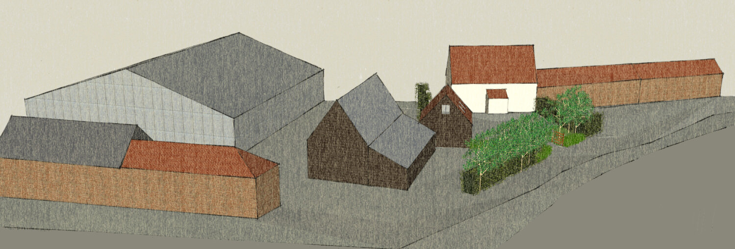
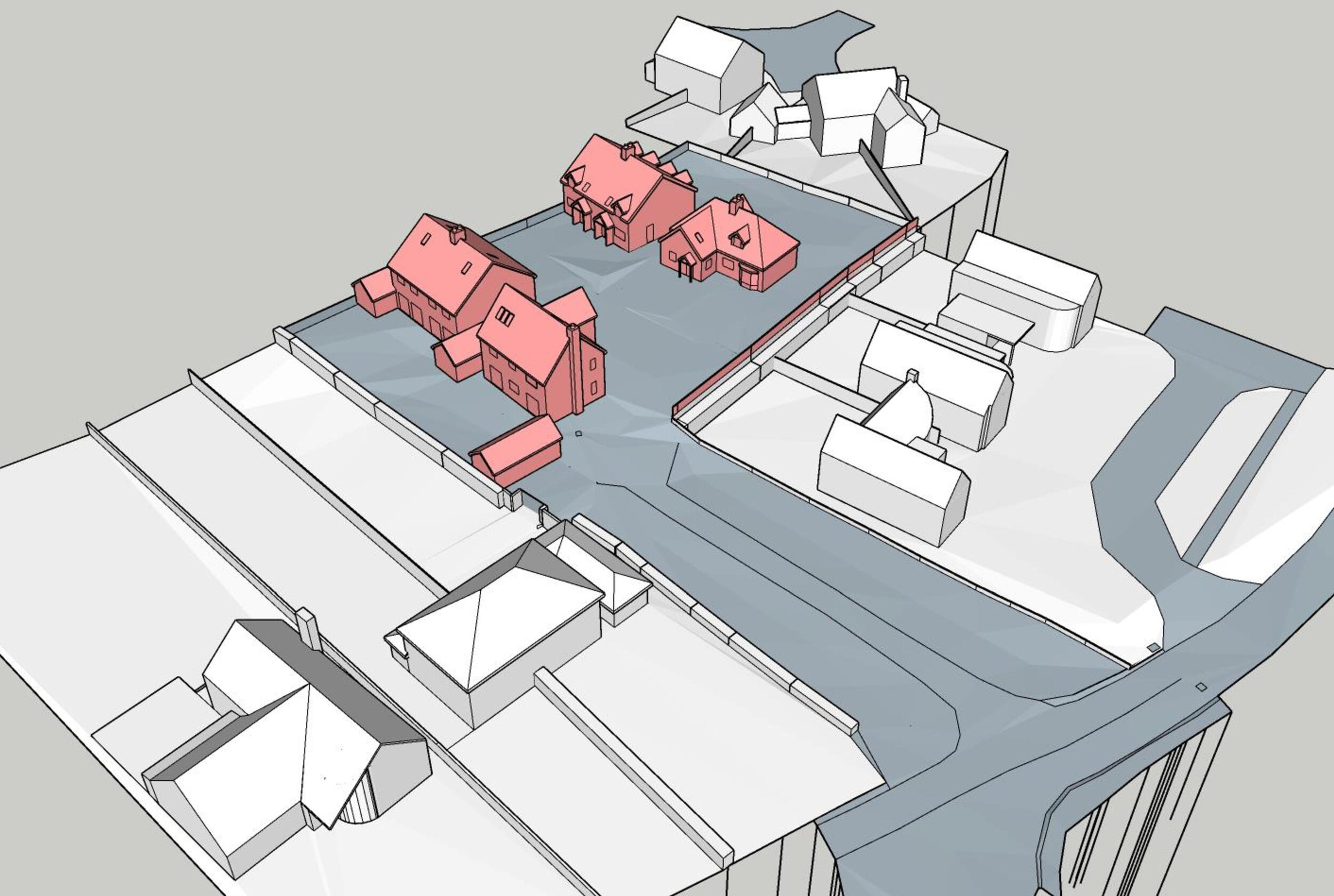
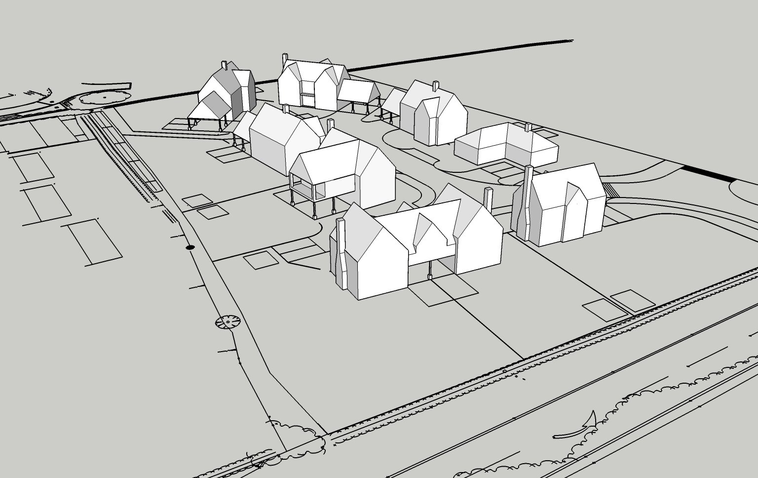
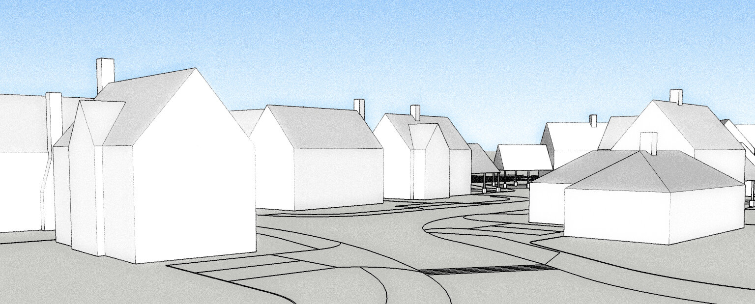
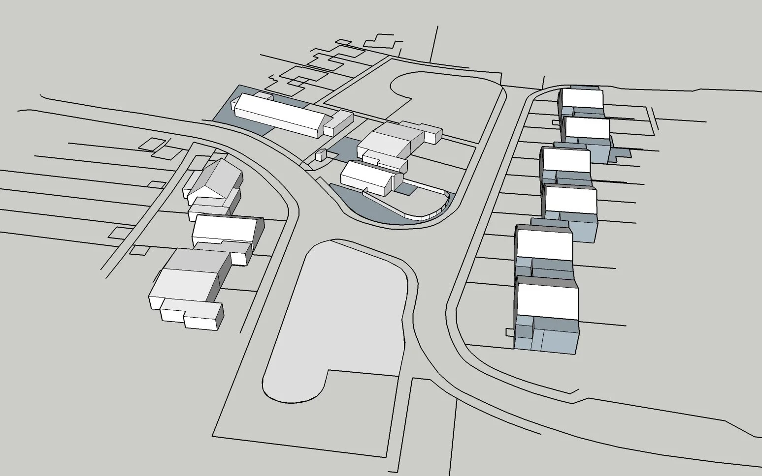
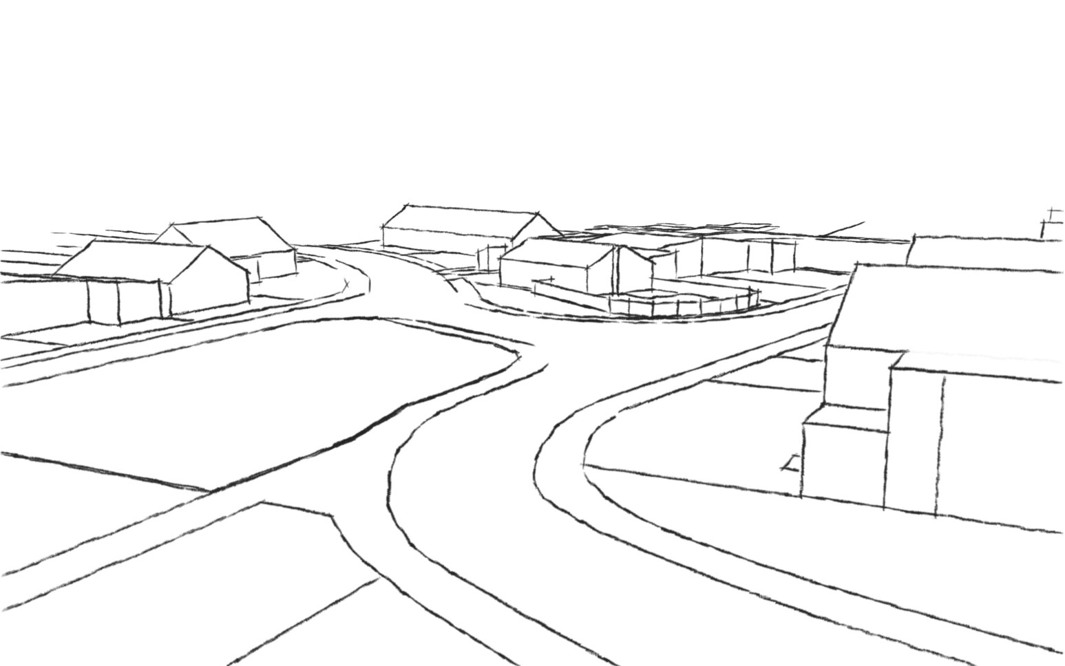
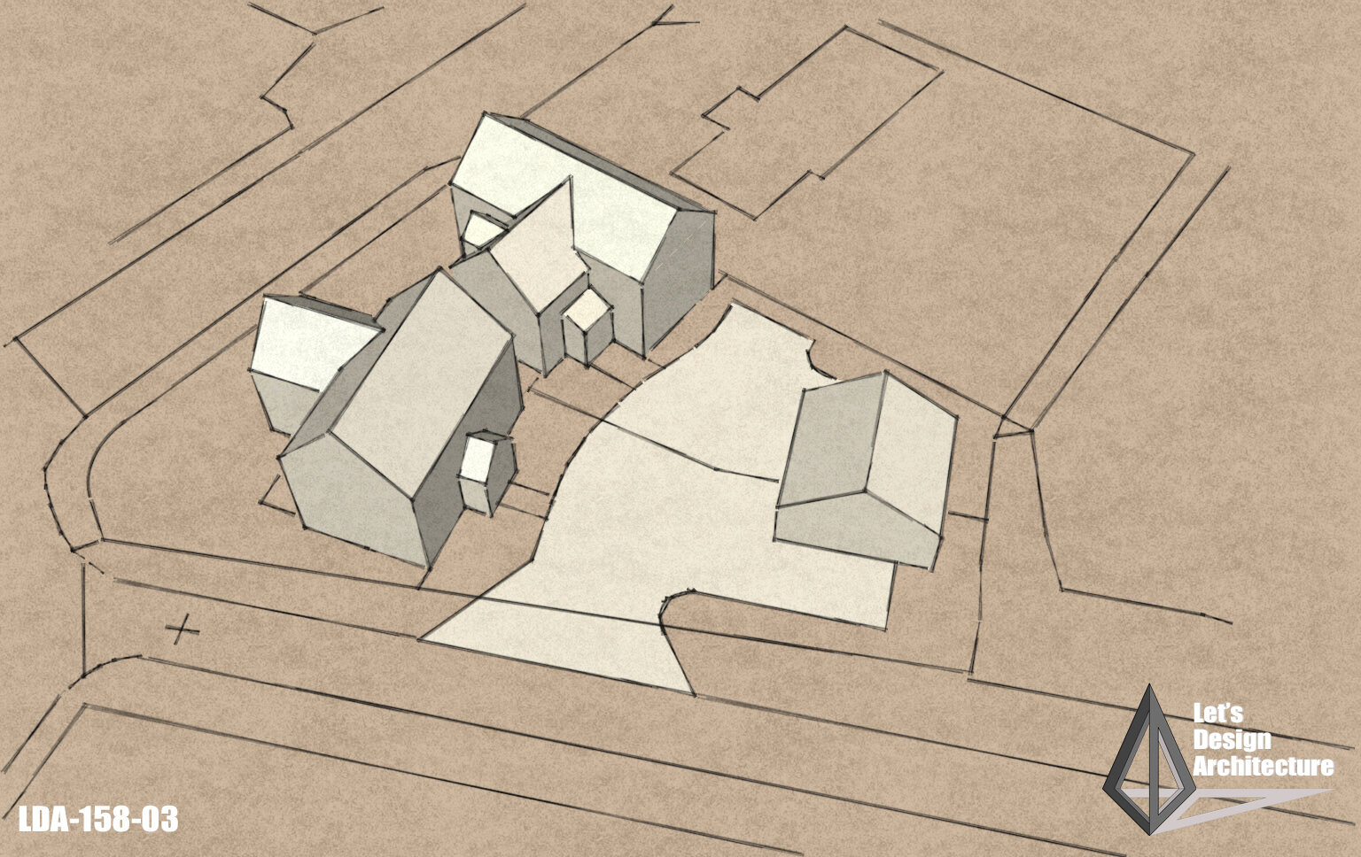
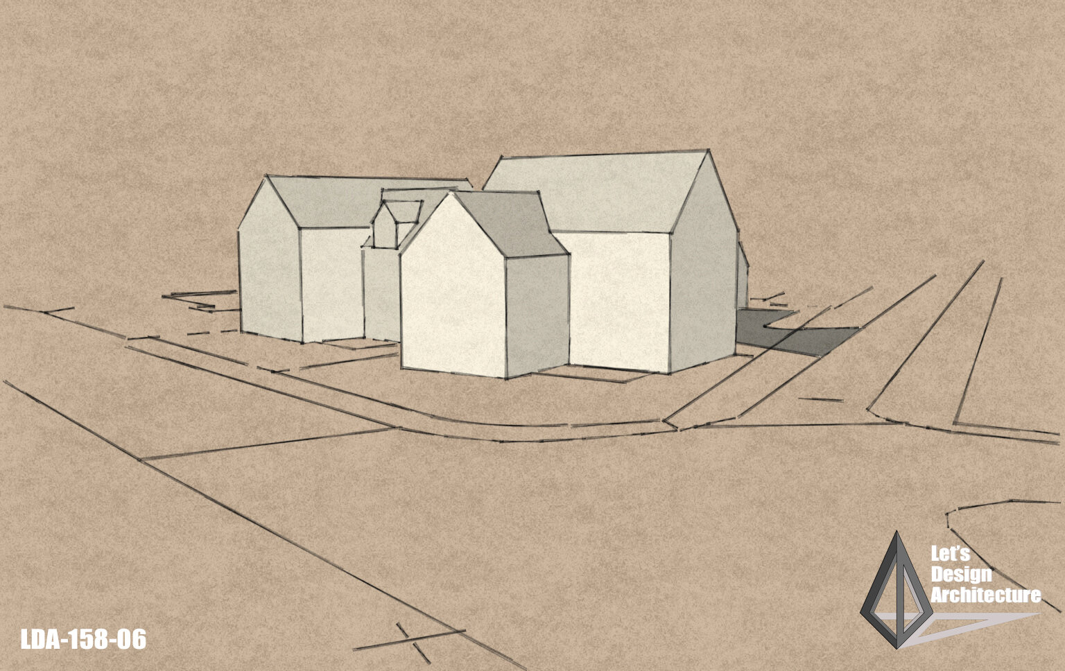
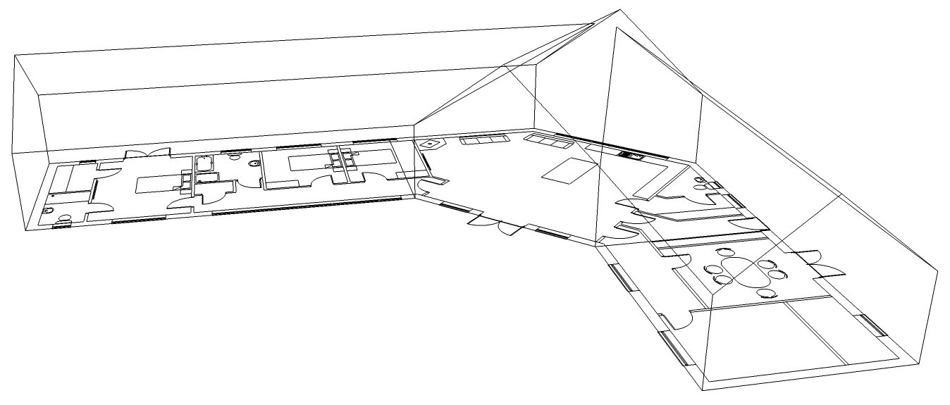
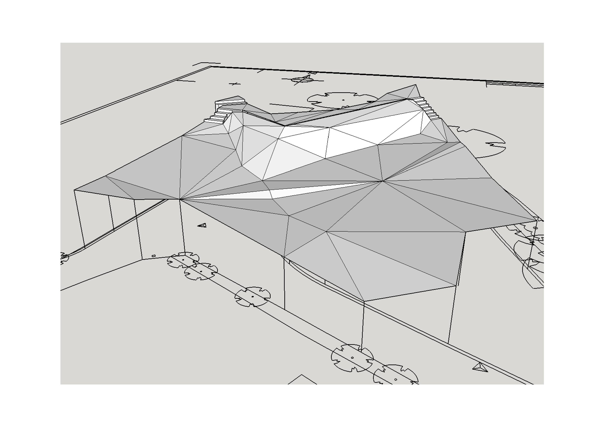
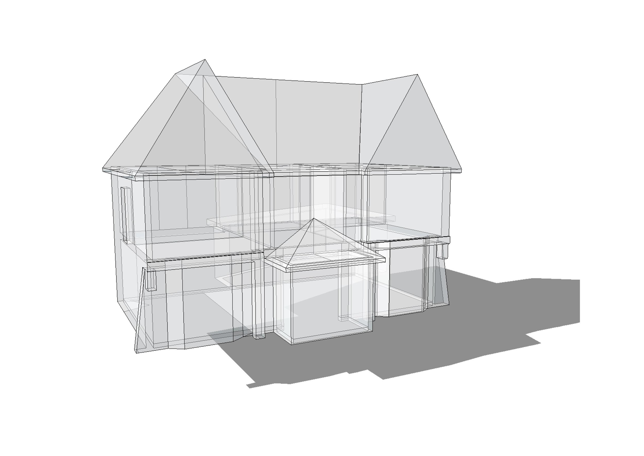
Presentation of a 3D image showing a garage proposed near to a listed building, shown in context with its surroundings.
A study to show the relationship of a proposed development (by others) in context with the surrounding buildings.
For the 9 house development in Benhall, I mocked up a 3D site drawing to show the position of the houses and be able to ‘fly through’ the site at eye level, showing how they sit together.
The 3D image was able to show the form of the properties before they actually took shape on site.
This is an actual photograph (not block model) taken from almost the same angle as the 3D model view, showing how accurately it compares and how Sketchup can be used to help visualize a development such as this.
I was appointed to design a very simple single storey property in Felixstowe on a corner plot adjacent to the Client’s house.
Using the 3D model, I was able to take a street view across from the far side of the green, to show the property in relation to the other housing around it.
I took the sketch view from Sketchup and hand coloured it, using a range of techniques, using both hand colouring and enhancing on Photoshop, showing how the property blends in with its surroundings.
The site had outline permission for two houses in the 1980’s which had expired a long time ago. Planning rules have changed a lot since then and it is more difficult to obtain permission for schemes in rural areas.
My job was to obtain a new outline permission and I produced this block model to show the layout of the plots. Following objections to this proposal, I went on to obtain permission for my Client for one large house with double garage on the site.
This view shows the site from the road frontage. The plot was a corner plot at a road junction. Although it did not obtain permission first time round, the Client was pleased that in the end he was able to sell his site with a valid permission for one large property.
When working up the concept for the project at Dennington, a number of design ideas were presented to the customer, including this unusual roof design - using Sketchup I could easily explain how it would look. The Clients went back to a more simple design for ease of construction, although they liked how this design worked.
Block model showing a Class Q barn conversion with the addition of a linked extension following the removal of some old nissen huts.
Wire frame image, showing the layout of the property. The 3D image was produced to show the Client how the roof form would work.
Working from a topographical survey which the Client had undertaken by a third party, I lifted the spot levels up to create a 3D wireframe model of the contours of the site in Sketchup. This model would prove useful in determining where the proposals would sit on site and how the levels, where they vary dramatically adjacent the existing building, would work regarding the regrading of the land.
The shading on the wireframe model shows the detail of the variation in ground levels more clearly.
I modelled the existing house from the set of measured survey plans which I undertook myself on site. I created this separately to the contour plan and brought it in to the overall model as a group.
Once I brought the existing house in to the model, I cleared the wireframe from the image and left just the lines which defined the edge of the driveway and the main drop in levels of the land outside the house. This clearly shows how the house sits within the existing landscape.
Once I had developed the scheme design based on my plans and the topographical levels provided, I added an effect to the model to soften it and make it appear 'sketchy'.